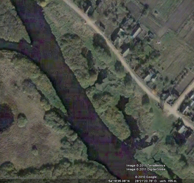
Google across Berezina
Berezina
Crossing
1812
For some time I have contact with Jerome BEAUCOUR, CENTRE d’ETUDES NAPOLEONIENNES , 44 chemin de Malanot ,38 700 CORENC , FRANCE.He did a remarkable job which is also of interest for the Dutch who showed much bravery during the retreat from Moskau in 1812. Look to this (link)picture, well known to many Dutch Schoolkids. In a publication of 24 pages Jerome describes an illustrated search for the location where the temporary bridges were build across the Berezina River in the icy water.
His aim?
* Satellite pictures to localize the battlefields of 1812 around the Berezina River
* Changes in the tract of the Berezina River
* To localize Napoleons Headquarter
* More certainity about the localisation of the two temporary bridges across the Berezina

Take a look in his publication, where details are filled in on this (Google) map
This was published in the Etudes Napoleoniennes Review : Etude du site du passage de la Bérézina par l’armée de Napoléon – Etudes Napoléoniennes- tome V, vol. 42. published by the Centre d’Etudes Napoleoniennes (12 rue Pasteur, 92 300 Levallois – France – email: fernand.beaucour@club-internet.fr) and Jerome’s email adress: beaucour@ill.fr.
